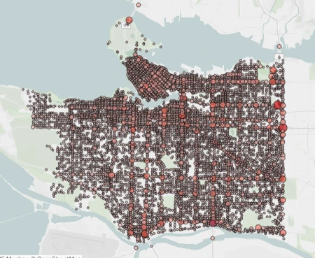
![]() Are you curious about where and why crashes are happening in your community? ICBC's crash maps allow you to access the most recent five years of data for our province arranged by municipality or by areas of special interest such as cyclists or pedestrians. If you are ambitious, you can even create your own views by applying filters to the data.
Are you curious about where and why crashes are happening in your community? ICBC's crash maps allow you to access the most recent five years of data for our province arranged by municipality or by areas of special interest such as cyclists or pedestrians. If you are ambitious, you can even create your own views by applying filters to the data.
Lower Mainland Crash Map Image
List of Crash Maps by Area
There are four different crash maps to choose from depending which area of BC you are interested in. Once you select the map you can choose the municipality from a list and then drill down by street name.
Open Data Set
ICBC's crash maps are part of the B.C. Government open data catalogue. If you have the skills necessary, you can download the raw data and conduct your own analysis.
If not, the Tableau Public tool allows you to create a "viz" to sort crash data and share it with others.
Caveat Concerning Crash Maps and Data
The data presented is self reported by drivers as many crashes are no longer investigated and reported by the police. This means that data may not be verifiable with precision.
Crashes that occur outside of intersections are represented by aggregate data points shown mid-block. This can skew the visual density of the map.
Related Sources of Crash Data
The BC Injury Prevention Unit maintains an Injury Data Online Tool that can be used to research road related deaths in British Columbia. Currently the tool can access data from 2002 to 2023.
What Isn't in the Data
The crash maps do not contain data about collisions that occur in parking lots or crashes that only involve parked vehicles.
Learn More
Share This Article
- Log in to post comments